


- "Boucle Centre-Artibonite" d'Haïti FR ES
- Antigua-et-Barbuda FR
- Bahamas FR
- Barbados
- Haïti FR
- Haïti : De ruptures en ruptures, un territoire en mutation FR ES
- Haïti : La persistance d'un état de crise et de la crise de l'Etat FR ES
- Haïti : Situation de l'agriculture 2024 FR
- Haïti : les empreintes majeures d'une identité plurielle FR ES
- Jamaïque FR
- La Guyane : un des derniers Far West FR
- La Martinique : un mal développement îlien FR ES
- Martinique
- Port of Fort-de-France (Martinique)
- Port of Pointe-à-Pitre/Jarry (Guadeloupe)
- Puerto Rico
- République dominicaine FR ES
- St. Vincent and the Grenadines
- Trinidad and Tobago (2000-2005)
- Venezuela FR
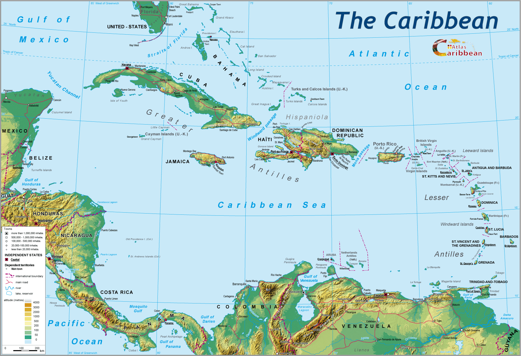
Number one port of the Guadeloupe archipelago, Pointe-à-Pitre/Jarry is one of four sites managed by the Autonomous Port of Guadeloupe (APG), equally responsible for the Bas-du-Fort Marina at Gosier, the port of Basse-Terre, and that of Folle-Anse on the island of Marie-Galante. APG is public owned by the State which, following a decree on 1st November 1975, took over from the Department the management of the overall port infrastructures of the archipelago. As the only ultramarine autonomous port, the latter is administered by a council of some 20 members comprising representatives of the State, Chamber of Commerce, industry, local authorities, port employees, and specialist personnel.
As in the case of Fort-de-France and the other Overseas Department ports, it will shortly undergo a change in status prompted by the Government's port reform paper of 4th July 2008, which in mainland France has replaced the former autonomous ports with the so-called 'large maritime ports.'
Port infrastructures
The dock area of the port of Pointe-à-Pitre is located at the far end of a “small marine cul-de-sac,” which constitutes a large stretch of protected water, comprising an internal road-stead and an open road-stead, encircled to the south by isles (Isle of Pigs, Boissard Isles...), as well as a coral reef. The port, situated at the heart of the Guadeloupean archipelago, is made up of two areas which in effect represent the stages of its development: the Old Port to the East, and that of Port Jarry to the West.

The original site was that of the 'Old Dock;' located at the edge of the town centre, and formerly reserved for passenger traffic to the southern islands of the archipelago, before this facility was re-located in 2002 to the new interregional port of Bergevin. Following the same axis of this dock, the old port was re-developed between 1931 and the end of the 1960s, but the extension quickly proved to be too narrow to cope with the increased volume of traffic, as well as modernised cargo handling operations. Equipped with 9 quays, with an average water depth of 8.5 metres, it is still used today for both commercial cargo and holiday cruise traffic.
The expansion of port installations has been confined to the western side of the bay, opposite the commercial port, on marshy terrain of no agricultural value to Pointe Jarry. The construction undertaken during the Fifth National Plan (1966-1970) was aimed at the decongestion of the Old Port as well as servicing the firms of the new industrial zone. The quaysides were specialised, adapted to new modes of packaging and equipped with extensive sheds and open storage areas. Currently there are three specialised quays reserved for loose, bulk cargo (mineral ore, coal, sugar, cereals, petroleum...), and two for conventional haulage and cargo. The construction of the container terminal in 1980 represented the second phase of the port's development. Equipped in 2010 with 5 gantry cranes, this latter terminal is regularly extended to take account of the growing size of ships serving Guadeloupe.
Since the middle of the 1980s, the Port Authorities have sought to develop industrial and commercial activities in the port of Jarry in order to extend its catchment area. Thus the International Zone of Commerce was established as a logistical platform comprising a free port, an industrial zone, and a World Trade Centre. This complex has as its ambition, the creation of the best-adapted reception facilities for small and medium-sized enterprises by promoting their integration within the established trading axis between Europe and the Caribbean basin. This strategy was confirmed in 2009 by the further elaboration of the key port development project for Guadeloupe, which seeks to position Pointe-à-Pitre by 2015 as the main hub port in the Lesser Antilles for container traffic. The justification for this ambitious project lies in the present evolution of world maritime traffic seeking to reduce to a minimum the number of intermediate ports of call, thereby favouring certain key locations (the 'hubs'), capable of accommodating the super-sized, mother ships of ocean navigation, thus allowing them to redistribute their cargoes in other directions, or simply provisioning them using smaller ships ('feeders'). The saturation of the main transhipment ports of the Caribbean (Kingston, Freeport...), the widening of the Panama Canal which has brought about a reconfiguration of shipping routes, the continuing growth of transhipment traffic in the Caribbean Basin, all support the logic behind this major pot project in Guadeloupe. The latter is based on the construction (in two phases) of a new container terminal to be located opposite the present terminal, and whose annual capacity could reach one million TEUs by 2020. The terminal will be equipped with 700 metres of quays, 45 hectares of open storage, and able to receive ships with a draught displacement of 16 metres.
Port traffic
The port of Pointe-à-Pitre registers around the same volume of traffic as its counterpart, Fort-de-France. If over recent years the increase in transhipment has largely contributed to this growth in traffic (3 582 054 tonnes in 2008), the year 2009 was marked by a sudden drop in port activity (3 010 669 tonnes), linked directly to the crisis in the global maritime sector, and to the social crisis in the Department during the first semester.

The imbalance in favour of imports is again greater than in Fort-de-France because Pointe-à-Pitre registers 80% of its traffic on entry (2 431 524 tonnes in 2009). Around one quarter of this total trade is made up of refined petroleum products, the rest being divided between containerised goods and loose, bulk cargo.

The containerised traffic, showing steady growth since 2000, registered a marked drop in 2009 (142 000 TEUs). Only 68% of containers handled that year were full, largely due to the fall in exports. Such trends demonstrate the extent to which targets both the short and medium term, notably in the context of Guadeloupe's 'Grand Project' port initiative will be difficult to achieve.

The holiday cruise traffic, which had reached 610 500 passengers in 1996 rose to 111 263 passengers in 2009. The autonomous port of Guadeloupe recorded 118 stopovers by cruise ships in 2009 compared with 162 in 2008. Even if this sector appears to be holding its own better than Fort-de-France, the Guadeloupean port-call suffers from the same difficulties as its Martiniquais counterpart, despite promotional campaigns for these destinations.
Most of the passenger traffic is accounted for by trips between Pointe-à-Pitre and the southern isles of the archipelago, especially Marie-Galante and secondly, Les Saintes (578 506 passengers in total in 2009). These links are largely serviced by the company L'Express des Iles on very fast motor boats able to hold 400 people. If the sea crossings have succeeded in supplanting links by air to the same destinations, the same cannot be said for links with neighbouring islands – Dominica, St. Lucia, and Martinique (117 228 passengers in 2009). The duration of the crossing between Pointe-à-Pitre and Fort-de-France (around 3 hours) is not attractive for travellers when compared to a journey time by air (40 minutes) even taking account of the cheaper fare by sea.

Selected references
France-Antilles, Guadeloupe, 9 novembre 2010, « Devenir un port d’éclatement est crucial pour la Guadeloupe ».
Journal de la marine marchande, n° 4730, 16 juillet 2010, « Guadeloupe, le grand projet portuaire ».
Le Marin, 22 octobre 2010, dossier « Guadeloupe », p. 18-28.
Jean-Etienne C., Les espaces portuaires et maritimes des Petites Antilles : les cas de Fort-de-France, Pointe-à-Pitre et Castries. Thèse de doctorat, Université des Antilles et de la Guyane, 2008, 277 p.
Port Autonome de la Guadeloupe, Rapport d’activité, annuel.
Ranély Vergé-Dépré C., Chardon J.P., « Le Bassin caraïbe : un carrefour maritime ? », Festival International de Géographie, Saint-Dié-des-Vosges, octobre 2009, http://fig-st-die.education.fr/actes/actes_2009/chardon/article.html
Ranély Vergé-Dépré C., « Le transport maritime de passagers aux Antilles françaises : évolution, bilan et enjeux », Etudes Caribéennes, n° 2, 2005, p.33-39.
Ranély Vergé-Dépré C., Les Antilles françaises en transition : de la relation privilégiée franco-française à l’ouverture internationale. Essai d’une géographie des transports, Villeneuve d’Ascq, Presses universitaires du Septentrion, 1999, 362 p. (Thèse de doctorat de l’université, Université de Bordeaux III, janvier 1999).
Ranély Vergé-Dépré C., « Quinze années de conteneurisation des trafics maritimes aux Antilles françaises : éléments d’un bilan », Les Cahiers d’Outre-Mer, n° 198, Bordeaux, 1997, p. 151-170.
http://www.portguadeloupe.com
top
|
  |
© 2007-2025 University of Caen Normandy,
CERTIC, UMR CNRS 6590 ESO, AREC, Research and Studies Association on Caribbean area, All Rights Reserved.  |

