


- La mangrove, une forêt tropicale entre terre et mer FR
- Martinique depuis 1945 FR
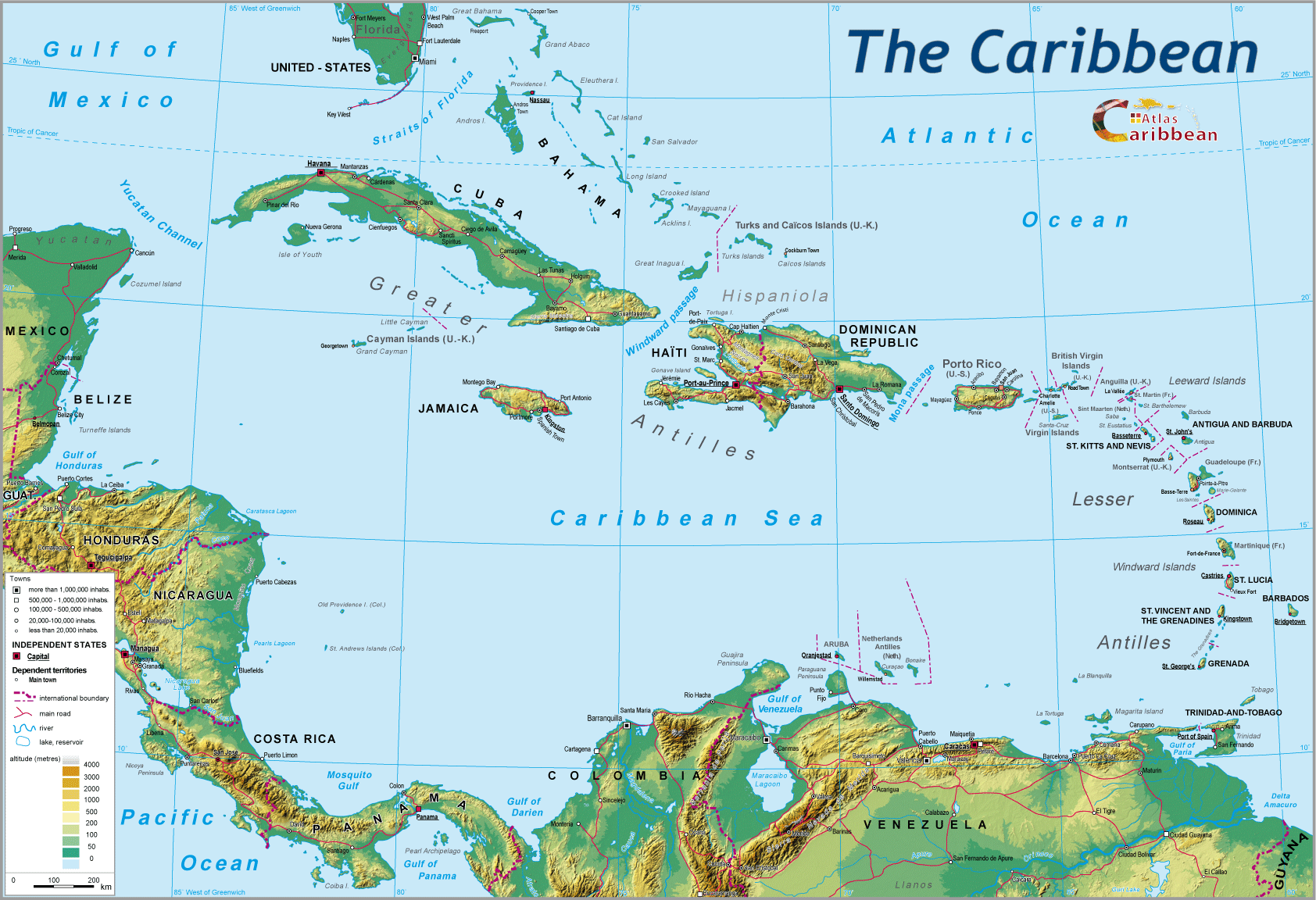
- North South interface
Pedagogic exercise
Plotting the North-South divide across Caribbean space sometimes poses a problem, especially when using a large-scale map.
Albeit little utilised until recently, statistical analysis accompanied by the use of graphs, and encompassing different development criteria, can assist in a better understanding of the North/South divide found within this fragmented space, where history and geopolitics have often introduced confusion into maps.
The graph that follows, produced by plotting a cluster of points, allows the reader to better visualise the existence of groups of countries with very different characteristics. Clearly, the final groupings proposed are subject to discussion.
References used: UN, 2003.
Note:
Certain territories under trusteeship are not included in the graph because of a lack of available date (Puerto Rico, Anguilla, Montserrat...).
Different stages in creating the graph

top
|
  |
© 2007-2025 University of Caen Normandy,
CERTIC, UMR CNRS 6590 ESO, AREC, Research and Studies Association on Caribbean area, All Rights Reserved.  |

